Bald Peak
Published 2025-07-07
Yesterday I rode out to Bald Peak in the Chehalem Mountains, along the way nosing up some dead ends I had never ridden before.
I started at Blue Kangaroo which is the usual starting point for my usual Sunday group ride. No other riders showed up, bar one who had brunch plans so he wasn’t planning on riding anyway. (This was not unexpected, as the usual group ride leader is on vacation.) After an Americano and some conversation with my bikey neighbor I decided to head back to some of my favorite old roads: up, down, and around the Chehalem Mountains, which is actually a range of hills separating the Tualatin Valley from the Willamette Valley.
These are some of my oldest stomping grounds, predating my Strava. I have been riding out here since at least 2003. My accustomed route is directly out Scholls Ferry Road. Twenty years ago Tigard stopped at the crest of South Cooper Mountain but development has moved all the way out to Tile Flat road. Jenny and I used to ride out this way; memorably once not long after we moved in together, with loaded panniers, to visit my folks in McMinnville.
South of Scholls I turned up a probably-new-to-me route up into the hills, Seifert Road. I have no Strava trace on this road but it was sort of familiar to me, or it would have been if it weren’t paved.
There aren’t a lot of unpaved roads left on the Chehalem Mountains. That was part of its charm to me twenty-plus years ago, and I would ride out there on my road bike with 25c tires(!) which seems unthinkable to me now that I’ve been spoiled by fat gravel tires.
Off Seiffert I sniffed up my first dead-end, Mountain Creek Road. Despite the pavement it was enchanting. I nearly ran into a spotted faun on my return.
The weather, by the way, was amazing all day. It barely reached 80°F, westerly winds, clarity of a kind that pilots call “extreme clear.” Air was bone dry; I felt sweat on my body only when I stopped moving, and then only briefly.
Seiffert ends at Mountain Home Road, which is most cyclists’ route from Scholls Ferry to Bell Road, and on which I still have no Strava trace! I have definitely ridden up this road, however.
After a few hundred feet on Mountain Home I turned up Schmeltzer road, which was in parts unpaved. Ditto for the dead-end Neill Rd (part one) which was enchanting in a slightly hillbillyish way. Schmeltzer took me to Courtney (unpaved!) which eventually touched Mountain Top Road, which runs along the spine of the Chehalem Mountains. These hills roll gently into the Tualatin Valley to the north, but drop sharply into the Willamette Valley on the south face, so Mountain Top road has almost continuous amazing views of the Willamette and the Red Hills of Dundee. Mountain Top Road was paved in 2013.
Off Mountain Top I detoured onto Neill Rd (part two) which drops through the timber along Heaton Creek with a wicked washboard surface. I didn’t realize at the time how close the ends of the two Neill Roads are, they are maybe 200' apart, separated by Heaton Creek. I wonder if in the past they were connected; if so I didn’t see any obvious remnant of that connection in the forest.
It was a slog then along Mountain Top, which connects with and continues onto Bald Peak Road just across SR219. (Long before I discovered cycling here, I once tried taking SR219 in my car thinking it would be a “shortcut” from Newberg bypassing Sherwood/Tigard oh man was I ever wrong. Lovely, but definitely not faster.)
I have ridden from Bell Road to Bald Peak State Park — the entire length of the hills — perhaps a dozen times, and every time it is much longer, and involves more climbing, than I remember.
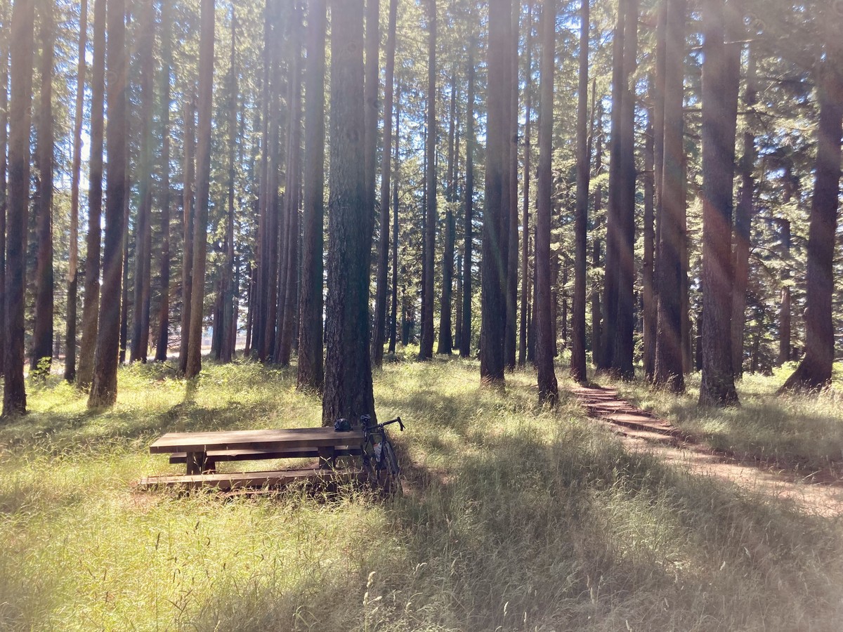
I stopped a Bald Peak SP hoping to find a tap to refill my one empty water bottle — there is none — and rested for a few minutes on one of the picnic tables. The park was deserted and a bit overgrown. It looked as if no one had visited since last summer, although to be honest there is not a lot to visit for. It is a “state scenic viewpoint” but adjacent landowners have let their trees grow into the view. Through the trees I could see Mt. Rainier and Mt. St. Helens to the north(ish). In the supernaturally clear air Rainier looked enormous, and a fluke of sunlight shining around high altitude clouds above it made it glow pink. In the field across the road from the park I could gain a view to the west, where I saw Mt. Hood and Mt. Jefferson. This is the first time I have ever seen Mt. Jefferson from the Portland region!
After the summit (such as it is), Bald Peak Road drops quickly. It turns north then east then northeast, but at the northeast turn I stayed east on Laurel Road. Despite having no Strava trace on Laurel I remember distinctly climbing Laurel Road in my pre-Strava days. Some perverted surveyor routed that road directly east/west, terrain be damned. I reached my top speed on this descent (40.3mph) which I had to feather a bit as there was a cross wind making me nervous. At the (unincorporated, unsigned) community of Laurel I turned north to connect back to Farmington Road.
I have a soft spot for these remnants of farming communities of the Willamette Valley and its tributaries: Kinton and Laurel and Farmington and Scholls. There isn’t much left in such places these days: a church or grange hall or school or store (perhaps abandoned).
I came back into Beaverton on Farmington Road, another longtime but not especially beloved route of mine. Fortunately development has been kind to Farmington Road. It has been recently widened, and the shoulders become bike lanes, which are occasionally even separated!
In Beaverton I wended my way to the Sunset Highway bike path, thoroughly familiar territory, which connected eventually to Sylvan, Council Crest, and home.
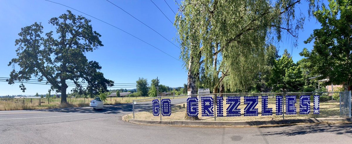
Go Grizzlies
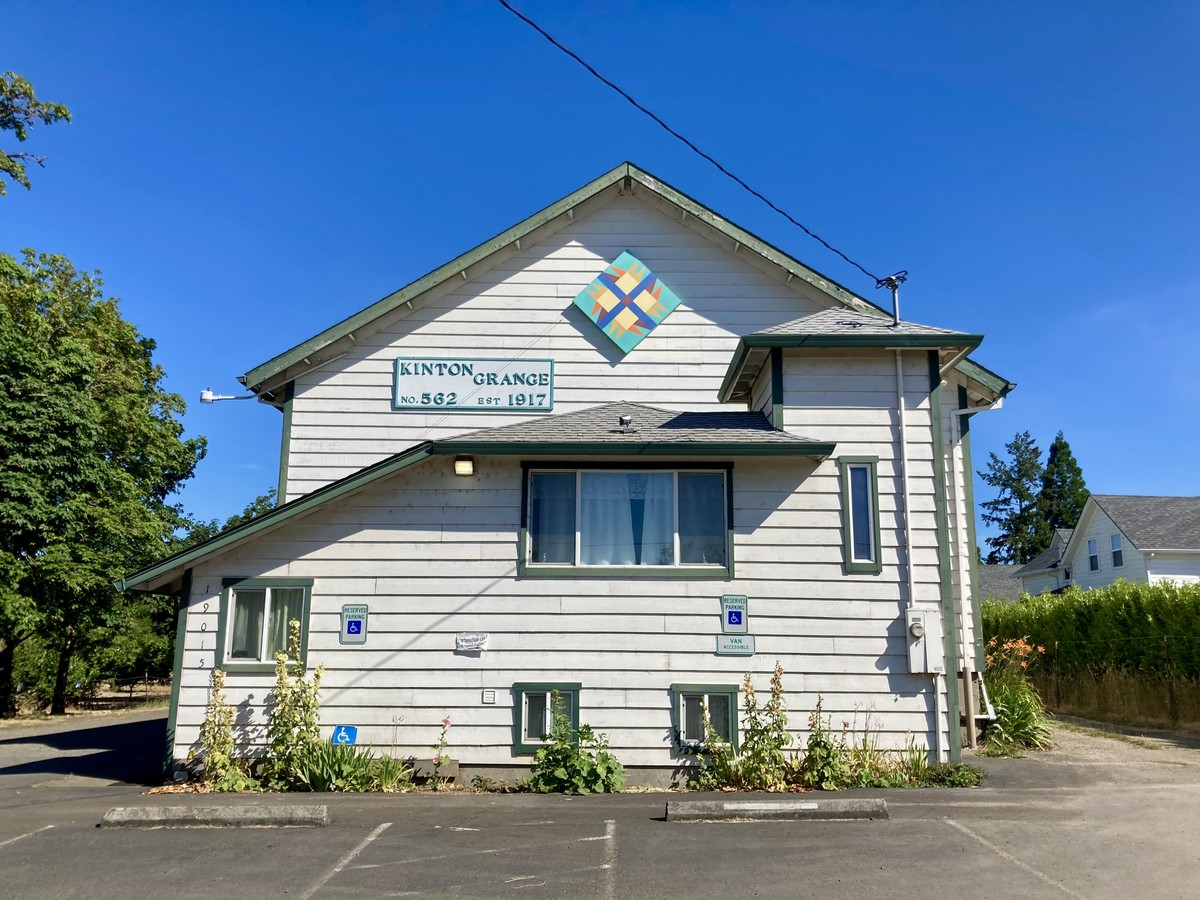
Kinton Grange
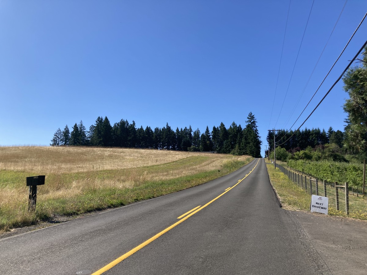
Seiffert Road
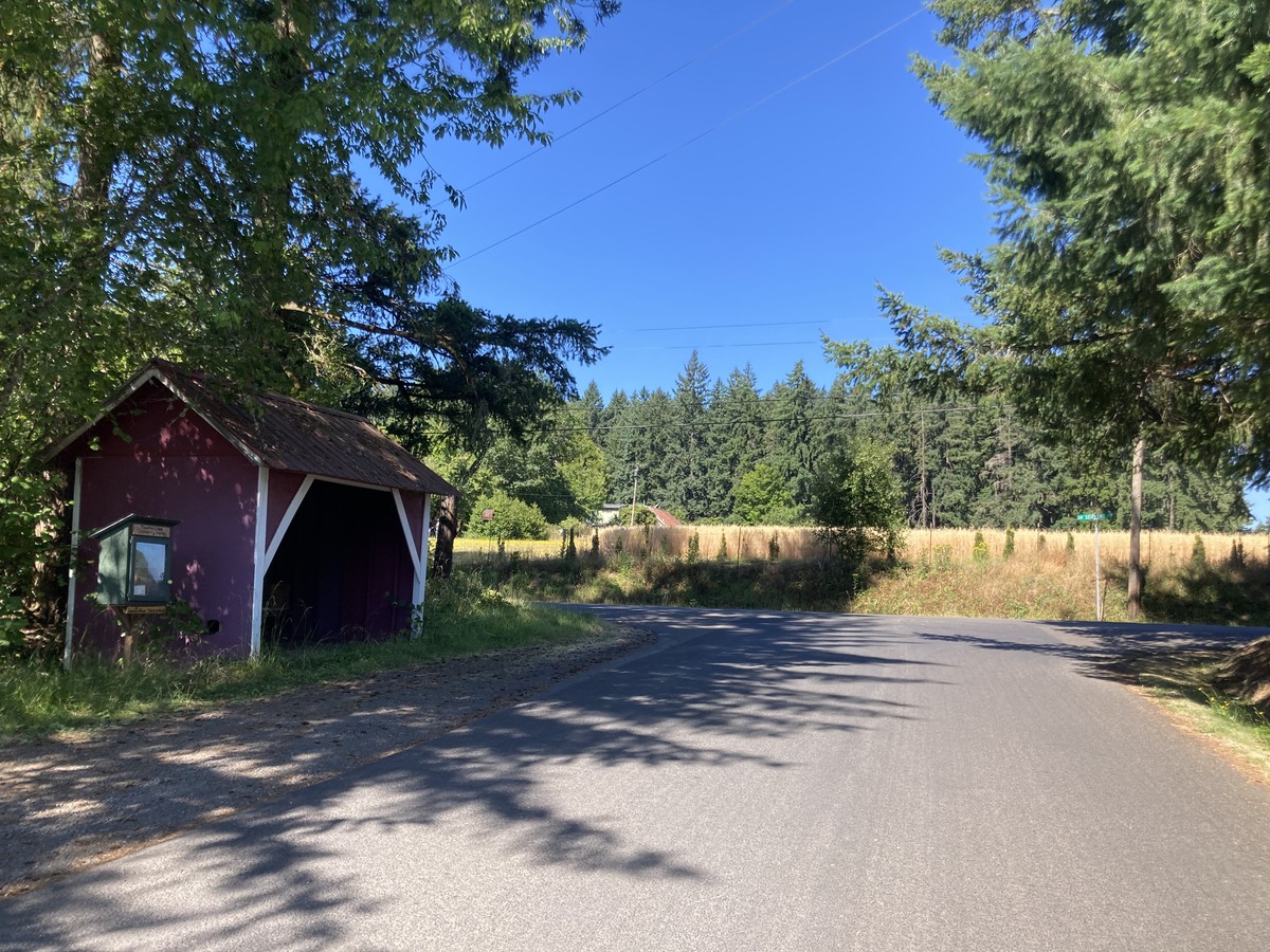
School Bus Stop on Mountain Creek Road
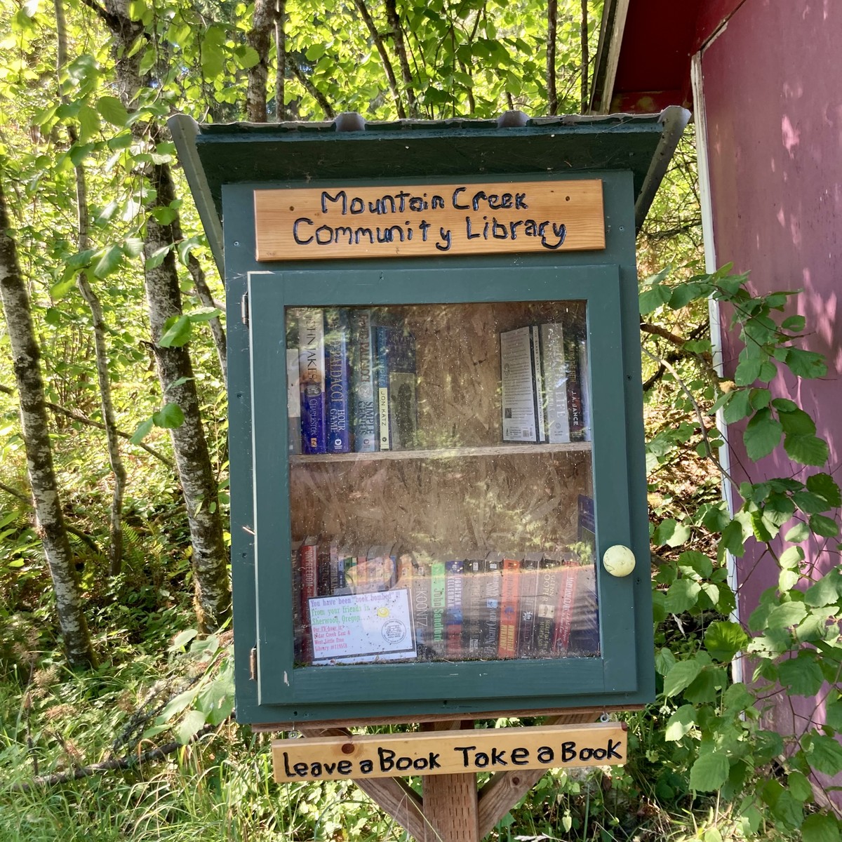
Mountain Creek community library
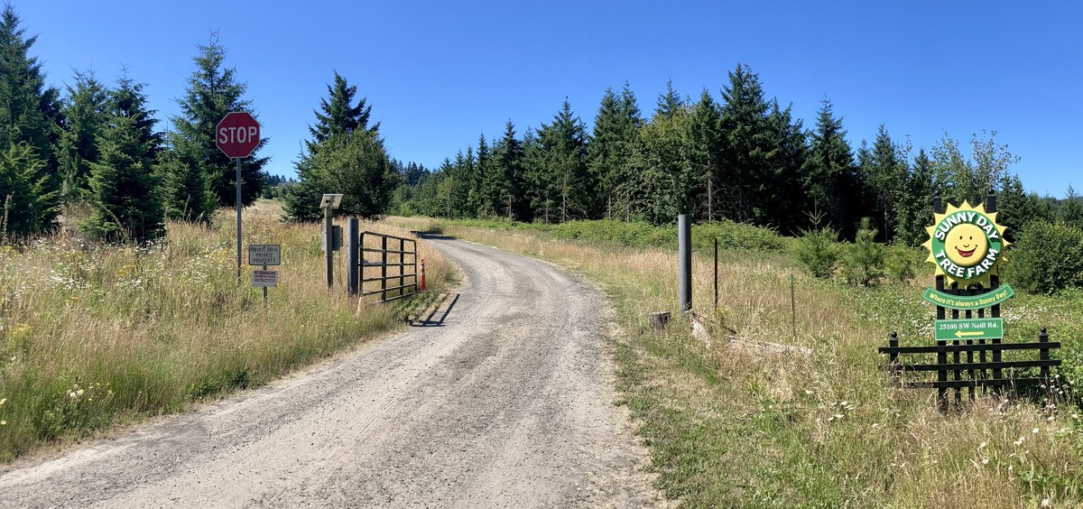
Sunny Day Tree Farm
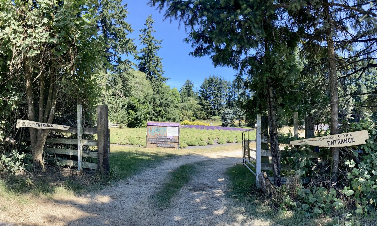
Lavender U-Pick
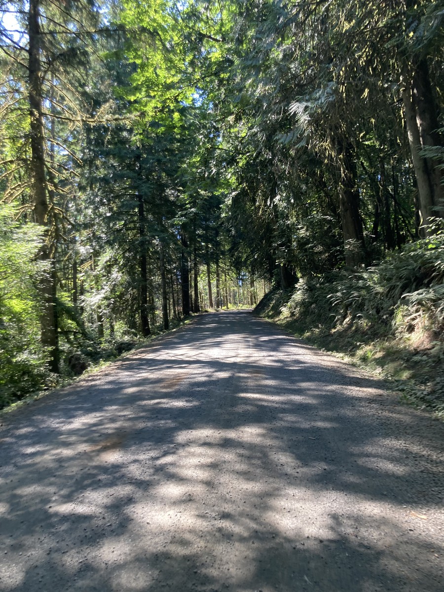
Mountain Home Road
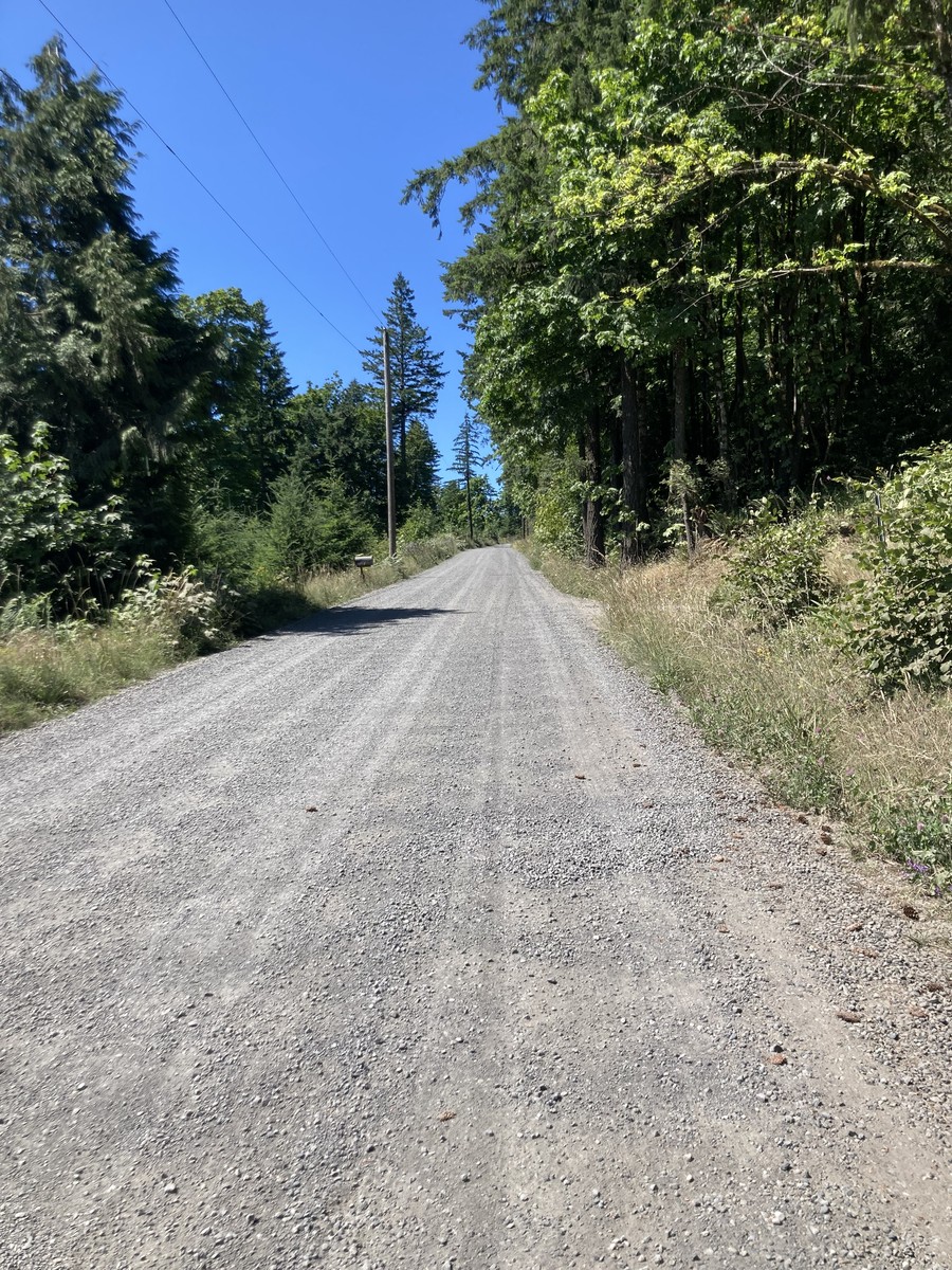
Neill Road
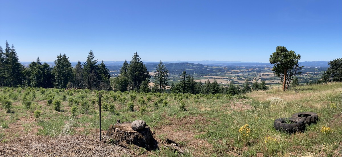
Red Hills of Dundee
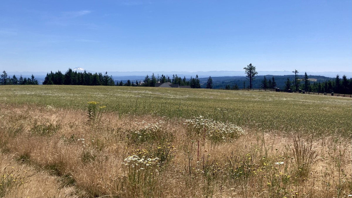
Mt. Hood and Mt. Jefferson from Bald Peak

Laurel, Oregon
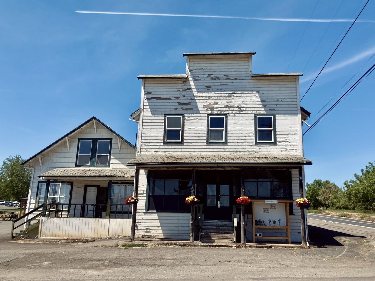
Laurel Store
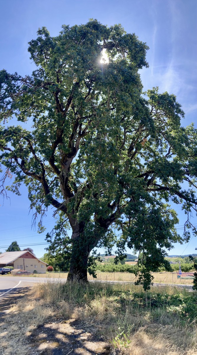
Oak tree at the crossroads of Laurel and Campbell Roads
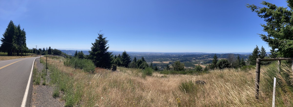
Willamette Valley from Mountain Top Road
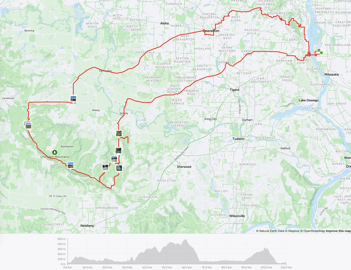
Route map to Bald Peak